 XIANG YANG
Current Status
Where is the vessel?
XIANG YANG is currently in 208 nm W of Bolinao, based on AIS data received about 14h ago.
Latest AIS update:
Current position: 15.99865° N, 116.30621° E (208 nm W of Bolinao)
Average speed (last 7 days): Loading…
Average speed (last 30 days): Loading…
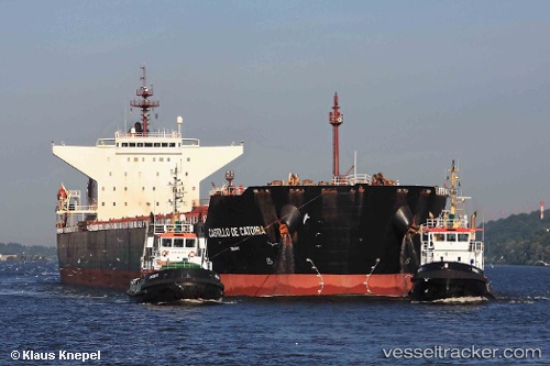
Vessel profile: XIANG YANG is a Bulk Carrier with dimensions m x m.
This page combines live AIS, route history, probable destination signals, nearby traffic, and port activity for practical vessel monitoring.
The current position of vessel XIANG YANG is 15.99865 lat / 116.30621 lng. Updated: 2026-05-19 19:14:48 UTCNearest reference points:
- 222 nm W of Iba
- 138 nm NW of Bolinao
- 282 nm E of Tan Cang Qui Nhon
Currently sailing under the flag of Panama ![]()
Details:
Live Vessel XIANG YANG Analytics (details, animations, etc.)
Recent AIS points (UTC):
2026-05-19 15:13:30 UTC · 15.44500, 115.85833 · SOG 11 kn · COG -1°2026-05-19 16:43:30 UTC · 15.66167, 116.03333 · SOG 10 kn · COG -1°
2026-05-19 18:07:31 UTC · 15.85333, 116.18667 · SOG 10 kn · COG -1°
2026-05-19 19:14:48 UTC · 15.99865, 116.30621 · SOG 10.3 kn · COG -1°