 SAM MAJESTY
Current Status
Where is the vessel?
SAM MAJESTY is currently in 54 nm SW of Jeddah, based on AIS data received about 14h ago.
Latest AIS update:
Current position: 20.88470° N, 38.38942° E (54 nm SW of Jeddah)
Average speed (last 7 days): Loading…
Average speed (last 30 days): Loading…
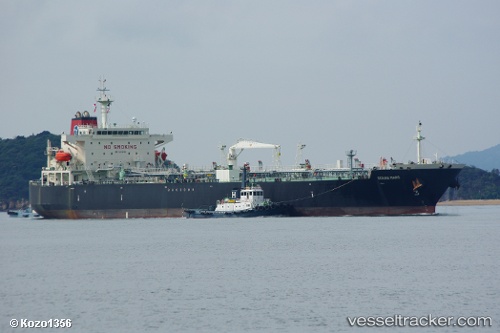
Vessel profile: SAM MAJESTY is a Crude Oil Tanker with dimensions m x m.
This page combines live AIS, route history, probable destination signals, nearby traffic, and port activity for practical vessel monitoring.
The current position of vessel SAM MAJESTY is 20.88470 lat / 38.38942 lng. Updated: 2026-05-18 19:31:12 UTCNearest reference points:
- 10 nm SW of Jeddah
- 64 nm W of Tusdeer Free Zone
- Near Tusdeer Free Zone
Currently sailing under the flag of Marshall Islands ![]()
Details:
Live Vessel SAM MAJESTY Analytics (details, animations, etc.)
Recent AIS points (UTC):
2026-05-18 16:00:40 UTC · 20.94092, 38.36206 · SOG 1.2 kn · COG 231°2026-05-18 16:22:43 UTC · 20.93651, 38.36361 · SOG 2.2 kn · COG -1°
2026-05-18 17:27:45 UTC · 20.09687, 38.08206 · SOG 18.7 kn · COG 222°
2026-05-18 19:31:12 UTC · 20.88470, 38.38942 · SOG 0.9 kn · COG 221°