 vesseltracker.com
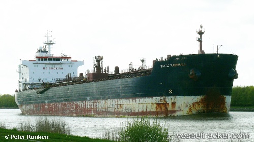
 GELIBOLU
Current Status
Where is the vessel?
GELIBOLU is currently in 20 nm NW of Thorntonbank, based on AIS data received about 14h ago.
Latest AIS update:
Current position: 51.80444° N, 2.46248° E (20 nm NW of Thorntonbank)
Average speed (last 7 days): Loading…
Average speed (last 30 days): Loading…
Vessel profile: GELIBOLU is a Oil/Chemical Tanker with dimensions m x m.
This page combines live AIS, route history, probable destination signals, nearby traffic, and port activity for practical vessel monitoring.
The current position of vessel GELIBOLU is 51.80444 lat / 2.46248 lng. Updated: 2026-05-18 02:13:07 UTCNearest reference points:
- 21 nm S of Craven Arms
- 13 nm NW of Middelkerke
- Near Thorntonbank
Currently sailing under the flag of Panama ![]()
Details:
Live Vessel GELIBOLU Analytics (details, animations, etc.)
Recent AIS points (UTC):
2026-05-17 22:38:47 UTC · 52.05553, 3.36684 · SOG 12.3 kn · COG 272°2026-05-17 23:24:06 UTC · 52.04328, 3.11801 · SOG 11.9 kn · COG 267°
2026-05-18 01:48:03 UTC · 51.87259, 2.55750 · SOG 9.9 kn · COG 220°
2026-05-18 02:13:07 UTC · 51.80444, 2.46248 · SOG 9.6 kn · COG 218°