 MIREA
MIREA
Current Status
Where is the vessel?
MIREA is currently in 42 nm E of Las Brujas, based on AIS data received about 14h ago.
Latest AIS update:
Current position: 23.79583° N, 17.57847° W (42 nm E of Las Brujas)
Average speed (last 7 days): Loading…
Average speed (last 30 days): Loading…
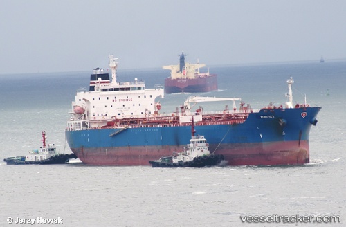
Vessel profile: MIREA is a Oil/Chemical Tanker with dimensions m x m.
This page combines live AIS, route history, probable destination signals, nearby traffic, and port activity for practical vessel monitoring.
The current position of vessel MIREA is 23.79583 lat / -17.57847 lng. Updated: 2026-05-19 19:49:16 UTCNearest reference points:
- 68 nm NW of Ad Dakhla
- 110 nm NE of Las Brujas
- Near DAKHLA
Currently sailing under the flag of Liberia ![]()
Details:
Live Vessel MIREA Analytics (details, animations, etc.)
Recent AIS points (UTC):
2026-05-19 17:08:58 UTC · 24.32373, -17.27943 · SOG 13.2 kn · COG 206°2026-05-19 18:05:53 UTC · 24.13297, -17.38412 · SOG 13.4 kn · COG 206°
2026-05-19 19:48:47 UTC · 23.79730, -17.57752 · SOG 13.2 kn · COG 209°
2026-05-19 19:49:16 UTC · 23.79583, -17.57847 · SOG 13.2 kn · COG 209°