 VENTO
VENTO
Current Status
Where is the vessel?
VENTO is currently in Near MISURATA, based on AIS data received about 14h ago.
Latest AIS update:
Current position: 32.36437° N, 15.21708° E (Near MISURATA)
Average speed (last 7 days): Loading…
Average speed (last 30 days): Loading…
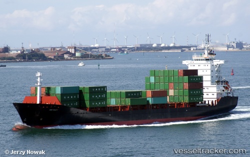
Vessel profile: VENTO is a General Cargo with dimensions m x m.
This page combines live AIS, route history, probable destination signals, nearby traffic, and port activity for practical vessel monitoring.
The current position of vessel VENTO is 32.36437 lat / 15.21708 lng. Updated: 2026-05-19 00:03:14 UTCNearest reference points:
- Near MISURATA
- 22 nm NW of Tarabulus
Currently sailing under the flag of Turkey ![]()
Details:
Live Vessel VENTO Analytics (details, animations, etc.)
Recent AIS points (UTC):
2026-05-18 20:25:02 UTC · 32.38511, 15.25816 · SOG 0.4 kn · COG 256°2026-05-18 21:42:52 UTC · 32.36977, 15.21943 · SOG 1.9 kn · COG 259°
2026-05-18 22:57:13 UTC · 32.36436, 15.21707 · SOG 0 kn · COG 358°
2026-05-19 00:03:14 UTC · 32.36437, 15.21708 · SOG 0 kn · COG 358°