 vesseltracker.com
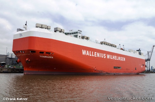
 Tombarra
Current Status
Where is the vessel?
Tombarra is currently in 46 nm SW of UCLUELET, based on AIS data received about 15h ago.
Latest AIS update:
Current position: 48.51118° N, 126.49902° W (46 nm SW of UCLUELET)
Average speed (last 7 days): Loading…
Average speed (last 30 days): Loading…
Vessel profile: Tombarra is a Vehicles Carrier with dimensions 199m x 32m.
This page combines live AIS, route history, probable destination signals, nearby traffic, and port activity for practical vessel monitoring.
The current position of vessel Tombarra is 48.51118 lat / -126.49902 lng. Updated: 2026-05-18 01:22:01 UTCNearest reference points:
- 21 nm NW of Tatoosh Island
- Near Clallam Bay
- Near Powell River
Currently sailing under the flag of Malta ![]()
Tombarra built in 2006 year
Deadweight:
22149 tDetails:
Live Vessel Tombarra Analytics (details, animations, etc.)
Recent AIS points (UTC):
2026-05-17 22:31:20 UTC · 48.51284, -125.40850 · SOG 14.7 kn · COG 272°2026-05-17 23:27:26 UTC · 48.49954, -125.76520 · SOG 15.2 kn · COG 272°
2026-05-18 01:14:25 UTC · 48.51124, -126.44867 · SOG 15.8 kn · COG 273°
2026-05-18 01:22:01 UTC · 48.51118, -126.49902 · SOG 15.6 kn · COG 273°