 vesseltracker.com
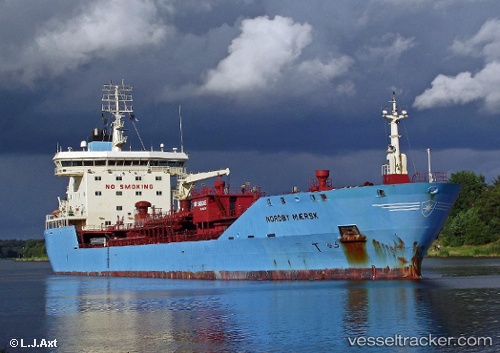
 STEN NEPTUN
Current Status
Where is the vessel?
STEN NEPTUN is currently in 33 nm W of Dale Roads, based on AIS data received about 14h ago.
Latest AIS update:
Current position: 51.56542° N, 5.99533° W (33 nm W of Dale Roads)
Average speed (last 7 days): Loading…
Average speed (last 30 days): Loading…
Vessel profile: STEN NEPTUN is a Oil/Chemical Tanker with dimensions m x m.
This page combines live AIS, route history, probable destination signals, nearby traffic, and port activity for practical vessel monitoring.
The current position of vessel STEN NEPTUN is 51.56542 lat / -5.99533 lng. Updated: 2026-05-18 14:04:03 UTCNearest reference points:
- Near WEXFORD
- 10 nm NW of Grampound
- Near ARKLOW
Currently sailing under the flag of Portugal ![]()
Details:
Live Vessel STEN NEPTUN Analytics (details, animations, etc.)
Recent AIS points (UTC):
2026-05-18 10:08:24 UTC · 52.09534, -5.83080 · SOG 6.4 kn · COG 197°2026-05-18 11:22:14 UTC · 51.95212, -5.87432 · SOG 7.7 kn · COG 189°
2026-05-18 13:45:16 UTC · 51.61426, -5.99451 · SOG 9.5 kn · COG -1°
2026-05-18 14:04:03 UTC · 51.56542, -5.99533 · SOG 9.1 kn · COG 181°