 MSC IRA II
Current Status
Where is the vessel?
MSC IRA II is currently in 13 nm NE of Bejaia, based on AIS data received about 14h ago.
Latest AIS update:
Current position: 36.89624° N, 5.28024° E (13 nm NE of Bejaia)
Average speed (last 7 days): Loading…
Average speed (last 30 days): Loading…
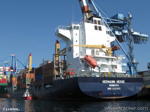
Vessel profile: MSC IRA II is a Container Ship with dimensions m x m.
This page combines live AIS, route history, probable destination signals, nearby traffic, and port activity for practical vessel monitoring.
The current position of vessel MSC IRA II is 36.89624 lat / 5.28024 lng. Updated: 2026-05-20 13:53:22 UTCNearest reference points:
- Near Bejaia
- Near Carmona
- Near Zamoranos
Currently sailing under the flag of Liberia ![]()
Details:
Live Vessel MSC IRA II Analytics (details, animations, etc.)
Recent AIS points (UTC):
2026-05-20 10:26:43 UTC · 36.74452, 5.12226 · SOG 0.4 kn · COG 80°2026-05-20 11:48:53 UTC · 36.85036, 5.27567 · SOG 8.8 kn · COG 53°
2026-05-20 13:26:03 UTC · 36.89311, 5.28636 · SOG 0.7 kn · COG 336°
2026-05-20 13:53:22 UTC · 36.89624, 5.28024 · SOG 0.7 kn · COG 346°