 vesseltracker.com
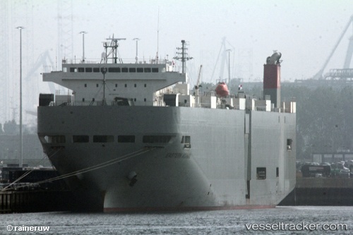
Western Highway
Current StatusWhere is the vessel?
Western Highway is currently in 31 nm NE of SAI, based on AIS data received about 14h ago.
Latest AIS update:
Current position: 41.66108° N, 141.48012° E (31 nm NE of SAI)
Average speed (last 7 days): Loading…
Average speed (last 30 days): Loading…
Vessel profile: Western Highway is a Vehicles Carrier with dimensions 28m x 188m.
This page combines live AIS, route history, probable destination signals, nearby traffic, and port activity for practical vessel monitoring.
The current position of vessel Western Highway is 41.66108 lat / 141.48012 lng. Updated: 2026-05-18 10:04:31 UTCNearest reference points:
- 23 nm NE of SAI
- 11 nm NW of Yokohama, Aomori
- Near Yokohama, Aomori
Details:
Live Vessel Western Highway Analytics (details, animations, etc.)
Recent AIS points (UTC):
2026-05-18 05:40:38 UTC · 41.65875, 142.98602 · SOG 16.8 kn · COG 270°2026-05-18 07:07:20 UTC · 41.65635, 142.45915 · SOG 16.5 kn · COG 269°
2026-05-18 07:43:14 UTC · 41.66460, 142.23940 · SOG 16.3 kn · COG 269°
2026-05-18 10:04:31 UTC · 41.66108, 141.48012 · SOG 15.1 kn · COG 266°