 vesseltracker.com
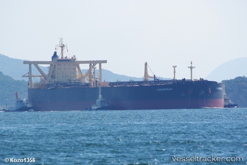
 .MAGICIAN 66
Current Status
Where is the vessel?
.MAGICIAN 66 is currently in Near Tso-Ying, based on AIS data received about 4d ago.
Latest AIS update:
Current position: 22.70649° N, 120.14910° E (Near Tso-Ying)
Average speed (last 7 days): Loading…
Average speed (last 30 days): Loading…
Vessel profile: .MAGICIAN 66 is a Crude Oil Tanker with dimensions m x m.
This page combines live AIS, route history, probable destination signals, nearby traffic, and port activity for practical vessel monitoring.
The current position of vessel .MAGICIAN 66 is 22.70649 lat / 120.14910 lng. Updated: 2026-05-14 11:11:45 UTCNearest reference points:
- Near Tso-Ying
- Near YUNG AN
- Near Kao-Hsiung Kang
Currently sailing under the flag of Comoros ![]()
Details:
Live Vessel .MAGICIAN 66 Analytics (details, animations, etc.)
Recent AIS points (UTC):
2026-05-14 11:11:45 UTC · 22.70649, 120.14910 · SOG 1.7 kn · COG -1°2026-05-14 11:11:45 UTC · 22.70649, 120.14910 · SOG 1.7 kn · COG -1°
2026-05-14 11:11:45 UTC · 22.70649, 120.14910 · SOG 1.7 kn · COG -1°
2026-05-14 11:11:45 UTC · 22.70649, 120.14910 · SOG 1.7 kn · COG -1°