 vesseltracker.com
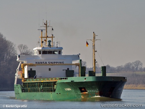
 KAISA
KAISA
Current Status
Where is the vessel?
KAISA is currently in Near New Holland, based on AIS data received about 14h ago.
Latest AIS update:
Current position: 53.69935° N, 0.39377° W (Near New Holland)
Average speed (last 7 days): Loading…
Average speed (last 30 days): Loading…
Vessel profile: KAISA is a General Cargo with dimensions m x m.
This page combines live AIS, route history, probable destination signals, nearby traffic, and port activity for practical vessel monitoring.
The current position of vessel KAISA is 53.69935 lat / -0.39377 lng. Updated: 2026-05-18 13:49:31 UTCNearest reference points:
- Near Hull
- Near Hessle/Hull
- Near Immingham
Currently sailing under the flag of Antigua and Barbuda ![]()
Details:
Live Vessel KAISA Analytics (details, animations, etc.)
Recent AIS points (UTC):
2026-05-18 09:40:29 UTC · 53.69933, -0.39379 · SOG 0 kn · COG 180°2026-05-18 10:07:30 UTC · 53.69933, -0.39380 · SOG 0 kn · COG 180°
2026-05-18 11:22:29 UTC · 53.69936, -0.39377 · SOG 0 kn · COG 181°
2026-05-18 13:49:31 UTC · 53.69935, -0.39377 · SOG 0 kn · COG 181°