 SUNNY FARANAH
Current Status
Where is the vessel?
SUNNY FARANAH is currently in 248 nm W of Luderitz Bay, based on AIS data received about 15h ago.
Latest AIS update:
Current position: 26.53360° S, 10.53313° E (248 nm W of Luderitz Bay)
Average speed (last 7 days): Loading…
Average speed (last 30 days): Loading…
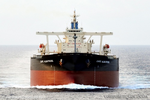
Vessel profile: SUNNY FARANAH is a Bulk Carrier with dimensions m x m.
This page combines live AIS, route history, probable destination signals, nearby traffic, and port activity for practical vessel monitoring.
The current position of vessel SUNNY FARANAH is -26.53360 lat / 10.53313 lng. Updated: 2026-05-19 06:02:43 UTCCurrently sailing under the flag of Panama ![]()
Details:
Live Vessel SUNNY FARANAH Analytics (details, animations, etc.)
Recent AIS points (UTC):
2026-05-19 01:49:54 UTC · -27.24034, 11.15749 · SOG 12.6 kn · COG 321°2026-05-19 04:00:08 UTC · -26.87833, 10.83833 · SOG 12 kn · COG -1°
2026-05-19 04:12:08 UTC · -26.84500, 10.80833 · SOG 13 kn · COG -1°
2026-05-19 06:02:43 UTC · -26.53360, 10.53313 · SOG 13 kn · COG 321°