 vesseltracker.com
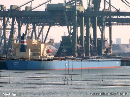
 BETTYS PERFECTION
Current Status
Where is the vessel?
BETTYS PERFECTION is currently in Near Astoria, based on AIS data received about 14h ago.
Latest AIS update:
Current position: 46.21823° N, 123.77692° W (Near Astoria)
Average speed (last 7 days): Loading…
Average speed (last 30 days): Loading…
Vessel profile: BETTYS PERFECTION is a Bulk Carrier with dimensions 225m x 32m.
This page combines live AIS, route history, probable destination signals, nearby traffic, and port activity for practical vessel monitoring.
The current position of vessel BETTYS PERFECTION is 46.21823 lat / -123.77692 lng. Updated: 2026-05-18 07:46:32 UTCNearest reference points:
- Near Astoria
- Near Grays River
- Near WARRENTON
Currently sailing under the flag of Marshall Islands ![]()
BETTYS PERFECTION built in 2007 year
Deadweight:
76635 tDetails:
Live Vessel BETTYS PERFECTION Analytics (details, animations, etc.)
Recent AIS points (UTC):
2026-05-18 04:04:36 UTC · 46.21721, -123.78238 · SOG 0 kn · COG 61°2026-05-18 05:28:49 UTC · 46.21667, -123.77667 · SOG 0 kn · COG -1°
2026-05-18 07:31:38 UTC · 46.21831, -123.77688 · SOG 0 kn · COG 268°
2026-05-18 07:46:32 UTC · 46.21823, -123.77692 · SOG 0 kn · COG 271°