 ALQADISIA
Current Status
Where is the vessel?
ALQADISIA is currently in 101 nm NE of Gross Koris, based on AIS data received about 14h ago.
Latest AIS update:
Current position: 14.44315° N, 53.70923° E (101 nm NE of Gross Koris)
Average speed (last 7 days): Loading…
Average speed (last 30 days): Loading…
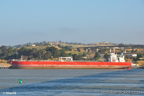
Vessel profile: ALQADISIA is a Crude Oil Tanker with dimensions m x m.
This page combines live AIS, route history, probable destination signals, nearby traffic, and port activity for practical vessel monitoring.
The current position of vessel ALQADISIA is 14.44315 lat / 53.70923 lng. Updated: 2026-05-29 15:41:04 UTCNearest reference points:
- 110 nm NE of Gross Koris
- 106 nm S of Port Raysut
- 103 nm S of Port Raysut
Currently sailing under the flag of Marshall Islands ![]()
Details:
Live Vessel ALQADISIA Analytics (details, animations, etc.)
Recent AIS points (UTC):
2026-05-29 11:27:38 UTC · 14.41562, 54.41843 · SOG 10 kn · COG 271°2026-05-29 13:01:03 UTC · 14.43463, 54.15398 · SOG 9.7 kn · COG 271°
2026-05-29 13:55:23 UTC · 14.44277, 54.00210 · SOG 9.7 kn · COG 268°
2026-05-29 15:41:04 UTC · 14.44315, 53.70923 · SOG 9.6 kn · COG 270°