 vesseltracker.com
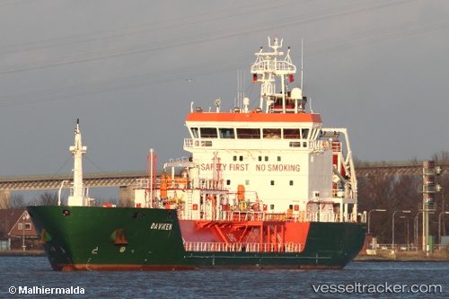
 B Gas Mariner
Current Status
Where is the vessel?
B Gas Mariner is currently in Near Gismarvik, based on AIS data received about 14h ago.
Latest AIS update:
Current position: 59.32736° N, 5.38875° E (Near Gismarvik)
Average speed (last 7 days): Loading…
Average speed (last 30 days): Loading…
Vessel profile: B Gas Mariner is a Lpg Tanker with dimensions 88m x 15m.
This page combines live AIS, route history, probable destination signals, nearby traffic, and port activity for practical vessel monitoring.
The current position of vessel B Gas Mariner is 59.32736 lat / 5.38875 lng. Updated: 2026-05-18 13:38:49 UTCNearest reference points:
- Near HUSOYA
- Near Storøya
- Near Valevåg
Currently sailing under the flag of Malta ![]()
B Gas Mariner built in 2007 year
Deadweight:
3811 tDetails:
Live Vessel B Gas Mariner Analytics (details, animations, etc.)
Recent AIS points (UTC):
2026-05-18 09:47:52 UTC · 59.32736, 5.38871 · SOG 0.1 kn · COG 188°2026-05-18 10:44:51 UTC · 59.32735, 5.38875 · SOG 0 kn · COG 188°
2026-05-18 11:53:52 UTC · 59.32736, 5.38874 · SOG 0 kn · COG 188°
2026-05-18 13:38:49 UTC · 59.32736, 5.38875 · SOG 0 kn · COG 188°