 vesseltracker.com
 ST HIKARI
Current Status
Where is the vessel?
ST HIKARI is currently in 28 nm SE of SVETLAYA, based on AIS data received about 14h ago.
Latest AIS update:
Current position: 46.20167° N, 138.79832° E (28 nm SE of SVETLAYA)
Average speed (last 7 days): Loading…
Average speed (last 30 days): Loading…
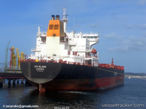
Vessel profile: ST HIKARI is a Oil Products Tanker with dimensions 228m x 33m.
This page combines live AIS, route history, probable destination signals, nearby traffic, and port activity for practical vessel monitoring.
The current position of vessel ST HIKARI is 46.20167 lat / 138.79832 lng. Updated: 2026-05-18 01:40:32 UTCNearest reference points:
- 40 nm NW of NEVELSK
- 45 nm S of Sovetskaya Gavan
- 38 nm SE of Sovetskaya Gavan
Currently sailing under the flag of Hong Kong ![]()
ST HIKARI built in 2008 year
Deadweight:
63599 tDetails:
Live Vessel ST HIKARI Analytics (details, animations, etc.)
Recent AIS points (UTC):
2026-05-17 22:40:29 UTC · 46.65833, 139.23167 · SOG 10 kn · COG -1°2026-05-17 23:28:30 UTC · 46.54167, 139.10667 · SOG 10 kn · COG -1°
2026-05-18 01:40:32 UTC · 46.20167, 138.79832 · SOG 11 kn · COG -1°
2026-05-18 01:40:32 UTC · 46.20167, 138.79832 · SOG 11 kn · COG -1°