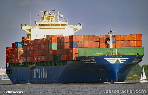
 Hyundai Dynasty
Current Status
Where is the vessel?
Hyundai Dynasty is currently in 319 nm NW of Sapiranga, based on AIS data received about 15h ago.
Latest AIS update:
Current position: 26.84389° S, 30.22702° W (319 nm NW of Sapiranga)
Average speed (last 7 days): Loading…
Average speed (last 30 days): Loading…
Vessel profile: Hyundai Dynasty is a Container Ship with dimensions 295m x 32m.
This page combines live AIS, route history, probable destination signals, nearby traffic, and port activity for practical vessel monitoring.
The current position of vessel Hyundai Dynasty is -26.84389 lat / -30.22702 lng. Updated: 2026-05-18 19:54:24 UTCCurrently sailing under the flag of Marshall Is ![]()
Hyundai Dynasty built in 2007 year
Deadweight:
63254 tDetails:
Live Vessel Hyundai Dynasty Analytics (details, animations, etc.)
Recent AIS points (UTC):
2026-05-18 16:33:55 UTC · -26.90693, -29.44926 · SOG 12.4 kn · COG 277°2026-05-18 18:18:36 UTC · -26.87324, -29.85543 · SOG 12.6 kn · COG 275°
2026-05-18 19:33:06 UTC · -26.85154, -30.14522 · SOG 12.4 kn · COG 276°
2026-05-18 19:54:24 UTC · -26.84389, -30.22702 · SOG 12.4 kn · COG 274°