 vesseltracker.com
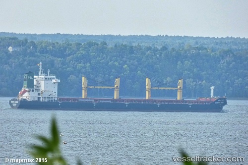
 JOINT MANDARINE
Current Status
Where is the vessel?
JOINT MANDARINE is currently in 31 nm S of Methoni, based on AIS data received about 14h ago.
Latest AIS update:
Current position: 36.29400° N, 21.68782° E (31 nm S of Methoni)
Average speed (last 7 days): Loading…
Average speed (last 30 days): Loading…
Vessel profile: JOINT MANDARINE is a Bulk Carrier with dimensions m x m.
This page combines live AIS, route history, probable destination signals, nearby traffic, and port activity for practical vessel monitoring.
The current position of vessel JOINT MANDARINE is 36.29400 lat / 21.68782 lng. Updated: 2026-05-17 23:05:55 UTCNearest reference points:
- 23 nm S of Methoni
- 17 nm S of Areópolis
- Near Kythira
Currently sailing under the flag of Marshall Islands ![]()
Details:
Live Vessel JOINT MANDARINE Analytics (details, animations, etc.)
Recent AIS points (UTC):
2026-05-17 19:09:55 UTC · 36.28824, 20.68648 · SOG 12.9 kn · COG 88°2026-05-17 19:31:54 UTC · 36.28431, 20.78407 · SOG 11.9 kn · COG 90°
2026-05-17 21:55:24 UTC · 36.28952, 21.39400 · SOG 12 kn · COG 85°
2026-05-17 23:05:55 UTC · 36.29400, 21.68782 · SOG 11.9 kn · COG 85°