 vesseltracker.com
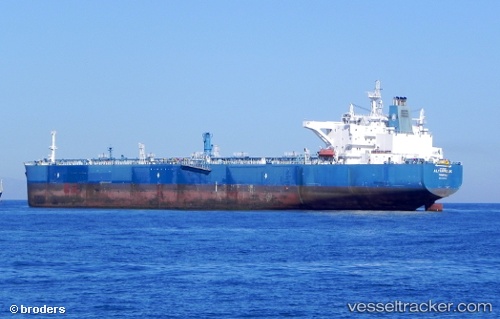
Alyarmouk
Current StatusWhere is the vessel?
Alyarmouk is currently in 24 nm W of Nida, based on AIS data received about 14h ago.
Latest AIS update:
Current position: 55.99366° N, 20.36980° E (24 nm W of Nida)
Average speed (last 7 days): Loading…
Average speed (last 30 days): Loading…
Vessel profile: Alyarmouk is a Crude Oil Tanker with dimensions 44m x 249m.
This page combines live AIS, route history, probable destination signals, nearby traffic, and port activity for practical vessel monitoring.
The current position of vessel Alyarmouk is 55.99366 lat / 20.36980 lng. Updated: 2026-05-18 10:33:01 UTCNearest reference points:
- 39 nm W of Pilies juru uosto PVP/Klaipeda
- Near Cimdenieki
- Near Klaipeda
Details:
Live Vessel Alyarmouk Analytics (details, animations, etc.)
Recent AIS points (UTC):
2026-05-18 07:14:27 UTC · 56.04420, 20.96195 · SOG 0 kn · COG 336°2026-05-18 07:44:29 UTC · 56.04407, 20.96157 · SOG 0.1 kn · COG 343°
2026-05-18 09:45:52 UTC · 55.99141, 20.60736 · SOG 10.6 kn · COG 276°
2026-05-18 10:33:01 UTC · 55.99366, 20.36980 · SOG 9.1 kn · COG 276°