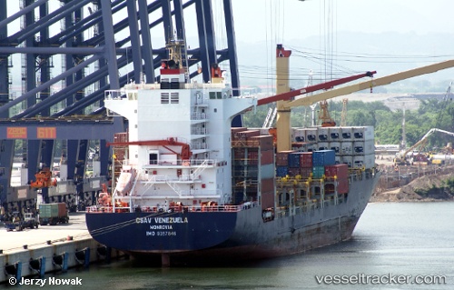
 MSC AGGELIKI II
Current Status
Where is the vessel?
MSC AGGELIKI II is currently in 21 nm S of Kinfraa-SEZ/Thiruvananthapuram, based on AIS data received about 14h ago.
Latest AIS update:
Current position: 8.15006° N, 77.04656° E (21 nm S of Kinfraa-SEZ/Thiruvananthapuram)
Average speed (last 7 days): Loading…
Average speed (last 30 days): Loading…
Vessel profile: MSC AGGELIKI II is a Container Ship with dimensions m x m.
This page combines live AIS, route history, probable destination signals, nearby traffic, and port activity for practical vessel monitoring.
The current position of vessel MSC AGGELIKI II is 8.15006 lat / 77.04656 lng. Updated: 2026-05-18 20:13:48 UTCNearest reference points:
- 41 nm S of Nagercoil
- 91 nm S of Nagercoil
- 98 nm S of Nagercoil
Currently sailing under the flag of Liberia ![]()
Details:
Live Vessel MSC AGGELIKI II Analytics (details, animations, etc.)
Recent AIS points (UTC):
2026-05-18 17:14:48 UTC · 8.12326, 77.02553 · SOG 1.3 kn · COG 317°2026-05-18 18:06:36 UTC · 8.13514, 77.04178 · SOG 3 kn · COG 270°
2026-05-18 19:42:18 UTC · 8.14431, 77.03309 · SOG 1.8 kn · COG 313°
2026-05-18 20:13:48 UTC · 8.15006, 77.04656 · SOG 1.4 kn · COG 324°