 vesseltracker.com
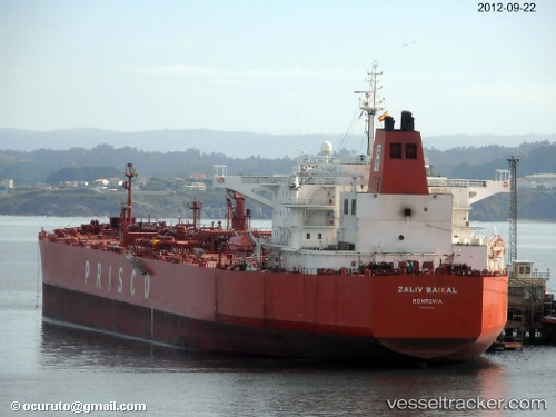
 ZALIV BAIKAL
Current Status
Where is the vessel?
ZALIV BAIKAL is currently in 16 nm S of Prigorodnoye, based on AIS data received about 15h ago.
Latest AIS update:
Current position: 46.35709° N, 142.82253° E (16 nm S of Prigorodnoye)
Average speed (last 7 days): Loading…
Average speed (last 30 days): Loading…
Vessel profile: ZALIV BAIKAL is a Crude Oil Tanker with dimensions m x m.
This page combines live AIS, route history, probable destination signals, nearby traffic, and port activity for practical vessel monitoring.
The current position of vessel ZALIV BAIKAL is 46.35709 lat / 142.82253 lng. Updated: 2026-05-17 22:07:37 UTCNearest reference points:
- Near Korsakov
- Near ANIVA
- 40 nm N of Cavle
Currently sailing under the flag of Oman ![]()
Details:
Live Vessel ZALIV BAIKAL Analytics (details, animations, etc.)
Recent AIS points (UTC):
2026-05-17 18:58:48 UTC · 45.87132, 142.22330 · SOG 11.6 kn · COG 45°2026-05-17 20:17:48 UTC · 46.08254, 142.46683 · SOG 12.5 kn · COG 38°
2026-05-17 21:45:36 UTC · 46.30911, 142.74240 · SOG 11.9 kn · COG 50°
2026-05-17 22:07:37 UTC · 46.35709, 142.82253 · SOG 11.5 kn · COG 34°