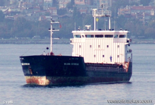
 SEA BREEZE
Current Status
Where is the vessel?
SEA BREEZE is currently in Near Glossa, based on AIS data received about 14h ago.
Latest AIS update:
Current position: 39.18578° N, 23.56790° E (Near Glossa)
Average speed (last 7 days): Loading…
Average speed (last 30 days): Loading…
Vessel profile: SEA BREEZE is a General Cargo with dimensions m x m.
This page combines live AIS, route history, probable destination signals, nearby traffic, and port activity for practical vessel monitoring.
The current position of vessel SEA BREEZE is 39.18578 lat / 23.56790 lng. Updated: 2026-05-22 22:07:42 UTCNearest reference points:
- Near Agriá
- Near Volos
- Near Amaliápolis
Currently sailing under the flag of Guinea ![]()
Details:
Live Vessel SEA BREEZE Analytics (details, animations, etc.)
Recent AIS points (UTC):
2026-05-22 19:50:42 UTC · 39.08680, 23.31490 · SOG 6.9 kn · COG 85°2026-05-22 19:58:41 UTC · 39.08737, 23.33465 · SOG 6.9 kn · COG 82°
2026-05-22 21:34:52 UTC · 39.13168, 23.54950 · SOG 6.2 kn · COG 9°
2026-05-22 22:07:42 UTC · 39.18578, 23.56790 · SOG 5.9 kn · COG 8°