 vesseltracker.com
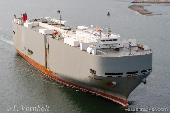
London Highway
Current StatusWhere is the vessel?
London Highway is currently in 44 nm E of Ponte Vedra, based on AIS data received about 14h ago.
Latest AIS update:
Current position: 30.03857° N, 80.54070° W (44 nm E of Ponte Vedra)
Average speed (last 7 days): Loading…
Average speed (last 30 days): Loading…
Vessel profile: London Highway is a Vehicles Carrier with dimensions 32m x 199m.
This page combines live AIS, route history, probable destination signals, nearby traffic, and port activity for practical vessel monitoring.
The current position of vessel London Highway is 30.03857 lat / -80.54070 lng. Updated: 2026-05-18 09:57:51 UTCNearest reference points:
- Near Elkton
- Near Ponte Vedra
- Near Fernandina
Details:
Live Vessel London Highway Analytics (details, animations, etc.)
Recent AIS points (UTC):
2026-05-18 05:52:33 UTC · 29.17776, -79.62450 · SOG 18.2 kn · COG 315°2026-05-18 05:52:33 UTC · 29.17776, -79.62450 · SOG 18.2 kn · COG 315°
2026-05-18 08:06:39 UTC · 29.71197, -80.15675 · SOG 18.2 kn · COG 312°
2026-05-18 09:57:51 UTC · 30.03857, -80.54070 · SOG 8.9 kn · COG 301°