 BOSFOR
Current Status
Where is the vessel?
BOSFOR is currently in 35 nm W of HVIDE SANDE, based on AIS data received about 14h ago.
Latest AIS update:
Current position: 56.07214° N, 7.09022° E (35 nm W of HVIDE SANDE)
Average speed (last 7 days): Loading…
Average speed (last 30 days): Loading…
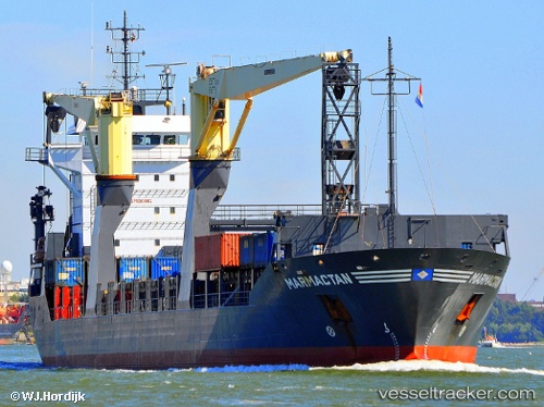
Vessel profile: BOSFOR is a General Cargo with dimensions m x m.
This page combines live AIS, route history, probable destination signals, nearby traffic, and port activity for practical vessel monitoring.
The current position of vessel BOSFOR is 56.07214 lat / 7.09022 lng. Updated: 2026-05-19 12:01:33 UTCNearest reference points:
- 36 nm W of HVIDE SANDE
- Near Blavand
- Near Thyborøn
Currently sailing under the flag of Panama ![]()
Details:
Live Vessel BOSFOR Analytics (details, animations, etc.)
Recent AIS points (UTC):
2026-05-19 08:04:00 UTC · 56.61955, 7.67962 · SOG 9.5 kn · COG 209°2026-05-19 10:06:43 UTC · 56.33698, 7.38427 · SOG 9.7 kn · COG 210°
2026-05-19 10:28:04 UTC · 56.28679, 7.33200 · SOG 9.9 kn · COG 211°
2026-05-19 12:01:33 UTC · 56.07214, 7.09022 · SOG 9.6 kn · COG 215°