 REGINA
Current Status
Where is the vessel?
REGINA is currently in Near Bnei Darom, based on AIS data received about 15h ago.
Latest AIS update:
Current position: 31.82284° N, 31.63619° E (Near Bnei Darom)
Average speed (last 7 days): Loading…
Average speed (last 30 days): Loading…
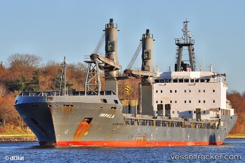
Vessel profile: REGINA is a General Cargo with dimensions m x m.
This page combines live AIS, route history, probable destination signals, nearby traffic, and port activity for practical vessel monitoring.
The current position of vessel REGINA is 31.82284 lat / 31.63619 lng. Updated: 2026-05-20 19:27:31 UTCNearest reference points:
- Near Damietta
- 21 nm N of Port Said
- 15 nm N of Port Said
Currently sailing under the flag of Malta ![]()
Details:
Live Vessel REGINA Analytics (details, animations, etc.)
Recent AIS points (UTC):
2026-05-20 15:53:41 UTC · 31.46888, 31.76208 · SOG 0 kn · COG 111°2026-05-20 16:11:42 UTC · 31.46886, 31.76210 · SOG 0 kn · COG 111°
2026-05-20 18:03:21 UTC · 31.65782, 31.78237 · SOG 8.9 kn · COG 321°
2026-05-20 19:27:31 UTC · 31.82284, 31.63619 · SOG 9 kn · COG 320°