 NAVIGATOR
Current Status
Where is the vessel?
NAVIGATOR is currently in Near Fiumicino, based on AIS data received about 14h ago.
Latest AIS update:
Current position: 41.70427° N, 12.17638° E (Near Fiumicino)
Average speed (last 7 days): Loading…
Average speed (last 30 days): Loading…
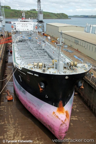
Vessel profile: NAVIGATOR is a Oil/Chemical Tanker with dimensions m x m.
This page combines live AIS, route history, probable destination signals, nearby traffic, and port activity for practical vessel monitoring.
The current position of vessel NAVIGATOR is 41.70427 lat / 12.17638 lng. Updated: 2026-05-18 21:40:17 UTCNearest reference points:
- Near Fiumicino
- Near Torvaianica
- Near Santa Marinella
Currently sailing under the flag of Marshall Islands ![]()
Details:
Live Vessel NAVIGATOR Analytics (details, animations, etc.)
Recent AIS points (UTC):
2026-05-18 17:31:20 UTC · 41.70466, 12.17839 · SOG 0 kn · COG 310°2026-05-18 19:10:17 UTC · 41.70429, 12.17717 · SOG 0.1 kn · COG 345°
2026-05-18 20:23:06 UTC · 41.70414, 12.17671 · SOG 0.1 kn · COG 0°
2026-05-18 21:40:17 UTC · 41.70427, 12.17638 · SOG 0.1 kn · COG 12°