 STARLIGHT I
Current Status
Where is the vessel?
STARLIGHT I is currently in Near South Padre Island, based on AIS data received about 14h ago.
Latest AIS update:
Current position: 26.08667° N, 97.02167° W (Near South Padre Island)
Average speed (last 7 days): Loading…
Average speed (last 30 days): Loading…
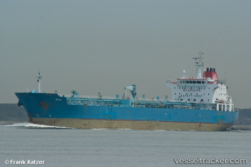
Vessel profile: STARLIGHT I is a Oil/Chemical Tanker with dimensions m x m.
This page combines live AIS, route history, probable destination signals, nearby traffic, and port activity for practical vessel monitoring.
The current position of vessel STARLIGHT I is 26.08667 lat / -97.02167 lng. Updated: 2026-05-18 21:23:23 UTCNearest reference points:
- Near Port Aransas
- Near PORT ARANSAS
- 10 nm E of Port Aransas
Currently sailing under the flag of Marshall Islands ![]()
Details:
Live Vessel STARLIGHT I Analytics (details, animations, etc.)
Recent AIS points (UTC):
2026-05-18 17:21:33 UTC · 26.08751, -97.02367 · SOG 0.5 kn · COG 163°2026-05-18 19:33:30 UTC · 26.08770, -97.02332 · SOG 0.2 kn · COG 168°
2026-05-18 20:15:28 UTC · 26.08773, -97.02335 · SOG 0.2 kn · COG 169°
2026-05-18 21:23:23 UTC · 26.08667, -97.02167 · SOG 0 kn · COG -1°