 LILA KINGSTON
Current Status
Where is the vessel?
LILA KINGSTON is currently in 45 nm SW of Dokdo, based on AIS data received about 14h ago.
Latest AIS update:
Current position: 36.56902° N, 131.39838° E (45 nm SW of Dokdo)
Average speed (last 7 days): Loading…
Average speed (last 30 days): Loading…
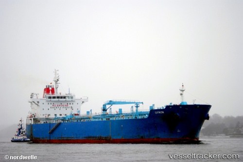
Vessel profile: LILA KINGSTON is a Oil/Chemical Tanker with dimensions m x m.
This page combines live AIS, route history, probable destination signals, nearby traffic, and port activity for practical vessel monitoring.
The current position of vessel LILA KINGSTON is 36.56902 lat / 131.39838 lng. Updated: 2026-06-01 09:58:30 UTCNearest reference points:
- 67 nm W of NAKANOSHIMA
- 63 nm NW of Unnan
- 37 nm NW of NAKANOSHIMA
Currently sailing under the flag of Liberia ![]()
Details:
Live Vessel LILA KINGSTON Analytics (details, animations, etc.)
Recent AIS points (UTC):
2026-06-01 06:00:07 UTC · 36.11959, 130.67023 · SOG 11.2 kn · COG 51°2026-06-01 07:32:59 UTC · 36.29274, 130.95580 · SOG 11.3 kn · COG -1°
2026-06-01 07:32:59 UTC · 36.29274, 130.95580 · SOG 11.3 kn · COG -1°
2026-06-01 09:58:30 UTC · 36.56902, 131.39838 · SOG 10.9 kn · COG -1°