 KAROLIINA
Current Status
Where is the vessel?
KAROLIINA is currently in Near Melilla, based on AIS data received about 14h ago.
Latest AIS update:
Current position: 35.29200° N, 2.91936° W (Near Melilla)
Average speed (last 7 days): Loading…
Average speed (last 30 days): Loading…
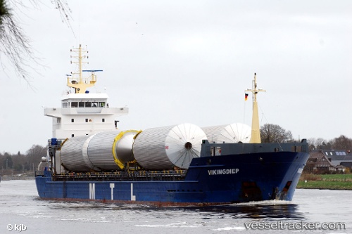
Vessel profile: KAROLIINA is a General Cargo Ship with dimensions 120m x 15m.
This page combines live AIS, route history, probable destination signals, nearby traffic, and port activity for practical vessel monitoring.
The current position of vessel KAROLIINA is 35.29200 lat / -2.91936 lng. Updated: 2026-05-19 23:06:27 UTCNearest reference points:
- 28 nm N of Melilla
- 37 nm S of Las Noras de Daza
- 29 nm S of Carchuna
Currently sailing under the flag of Antigua and Barbuda ![]()
KAROLIINA built in 2008 year
Deadweight:
7953 tDetails:
Live Vessel KAROLIINA Analytics (details, animations, etc.)
Recent AIS points (UTC):
2026-05-19 19:47:27 UTC · 35.27522, -2.91970 · SOG 0 kn · COG 322°2026-05-19 19:50:17 UTC · 35.27522, -2.91970 · SOG 0 kn · COG 322°
2026-05-19 22:11:25 UTC · 35.27522, -2.91969 · SOG 0 kn · COG 322°
2026-05-19 23:06:27 UTC · 35.29200, -2.91936 · SOG 9.6 kn · COG 8°