 vesseltracker.com
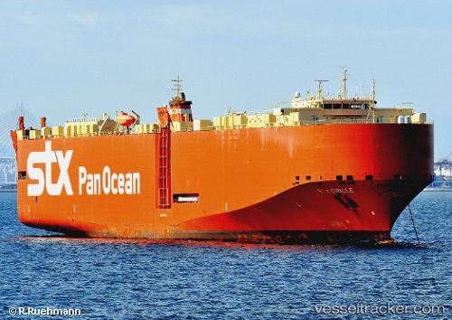
Gral. San Martin
Current StatusWhere is the vessel?
Gral. San Martin is currently in 48 nm SE of Brebes, based on AIS data received about 2d ago.
Latest AIS update:
Current position: 6.44702° N, 110.17877° E (48 nm SE of Brebes)
Average speed (last 7 days): Loading…
Average speed (last 30 days): Loading…
Vessel profile: Gral. San Martin is a Vehicles Carrier with dimensions 32m x 176m.
This page combines live AIS, route history, probable destination signals, nearby traffic, and port activity for practical vessel monitoring.
The current position of vessel Gral. San Martin is 6.44702 lat / 110.17877 lng. Updated: 2026-05-16 07:04:09 UTCNearest reference points:
- 41 nm NW of Brebes
- 11 nm N of Gombong
- 30 nm SW of Dai Hung (Tandem Load)
Details:
Live Vessel Gral. San Martin Analytics (details, animations, etc.)
Recent AIS points (UTC):
2026-05-16 07:04:09 UTC · 6.44702, 110.17877 · SOG 14.1 kn · COG 204°2026-05-16 07:04:09 UTC · 6.44702, 110.17877 · SOG 14.1 kn · COG 204°
2026-05-16 07:04:09 UTC · 6.44702, 110.17877 · SOG 14.1 kn · COG 204°
2026-05-16 07:04:09 UTC · 6.44702, 110.17877 · SOG 14.1 kn · COG 204°