 PRIME
PRIME
Current Status
Where is the vessel?
PRIME is currently in Near Binh Thanh, based on AIS data received about 14h ago.
Latest AIS update:
Current position: 10.77081° N, 106.74990° E (Near Binh Thanh)
Average speed (last 7 days): Loading…
Average speed (last 30 days): Loading…
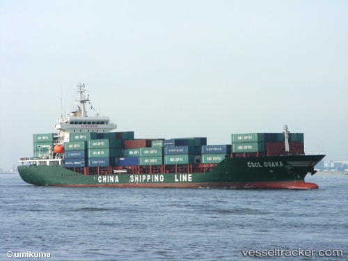
Vessel profile: PRIME is a Container Ship with dimensions 145m x 145m.
This page combines live AIS, route history, probable destination signals, nearby traffic, and port activity for practical vessel monitoring.
The current position of vessel PRIME is 10.77081 lat / 106.74990 lng. Updated: 2026-05-19 03:38:13 UTCNearest reference points:
- Near Cat Lai Oil Port
- Near Saigon Petro Oil Terminal
- Near Nha Be
Currently sailing under the flag of Vietnam ![]()
PRIME built in 2008 year
Deadweight:
12562 tDetails:
Live Vessel PRIME Analytics (details, animations, etc.)
Recent AIS points (UTC):
2026-05-19 00:14:17 UTC · 10.76567, 106.73575 · SOG 0 kn · COG 196°2026-05-19 02:06:37 UTC · 10.76555, 106.73572 · SOG 0 kn · COG 196°
2026-05-19 02:09:34 UTC · 10.76563, 106.73582 · SOG 0 kn · COG 195°
2026-05-19 03:38:13 UTC · 10.77081, 106.74990 · SOG 6.9 kn · COG 141°