 vesseltracker.com
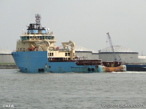
 HAI DUONG 02
Current Status
Where is the vessel?
HAI DUONG 02 is currently in 57 nm N of Naryan-Mar mouth, based on AIS data received about 182d ago.
Latest AIS update:
Current position: 68.60560° N, 52.43587° E (57 nm N of Naryan-Mar mouth)
Average speed (last 7 days): Loading…
Average speed (last 30 days): Loading…
Vessel profile: HAI DUONG 02 is a Offshore Tug/Supply Ship with dimensions 20m x 73m.
This page combines live AIS, route history, probable destination signals, nearby traffic, and port activity for practical vessel monitoring.
The current position of vessel HAI DUONG 02 is 68.60560 lat / 52.43587 lng. Updated: 2025-11-17 00:09:09 UTCNearest reference points:
- 55 nm NE of Kolguyev Island
- 73 nm NW of Varandey
Currently sailing under the flag of Panama ![]()
HAI DUONG 02 built in 2009 year
Deadweight:
3559 tDetails:
Live Vessel HAI DUONG 02 Analytics (details, animations, etc.)
Recent AIS points (UTC):
2025-11-17 00:09:09 UTC · 68.60560, 52.43587 · SOG 29.5 kn · COG 0°