 NUR K
NUR K
Current Status
Where is the vessel?
NUR K is currently in 14 nm W of Komiza, based on AIS data received about 14h ago.
Latest AIS update:
Current position: 42.96398° N, 15.78778° E (14 nm W of Komiza)
Average speed (last 7 days): Loading…
Average speed (last 30 days): Loading…
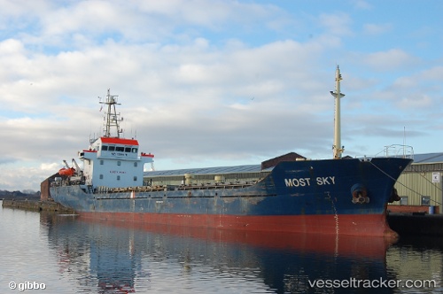
Vessel profile: NUR K is a General Cargo with dimensions m x m.
This page combines live AIS, route history, probable destination signals, nearby traffic, and port activity for practical vessel monitoring.
The current position of vessel NUR K is 42.96398 lat / 15.78778 lng. Updated: 2026-05-19 17:26:42 UTCNearest reference points:
- Near Podglavica
- Near Rogac
- Near Rogoznica
Currently sailing under the flag of Comoros ![]()
Details:
Live Vessel NUR K Analytics (details, animations, etc.)
Recent AIS points (UTC):
2026-05-19 13:36:24 UTC · 43.39626, 15.37515 · SOG 8.3 kn · COG 142°2026-05-19 15:58:23 UTC · 43.11103, 15.62103 · SOG 8.5 kn · COG 153°
2026-05-19 16:19:53 UTC · 43.06486, 15.65100 · SOG 8.5 kn · COG 153°
2026-05-19 17:26:42 UTC · 42.96398, 15.78778 · SOG 8.1 kn · COG 116°