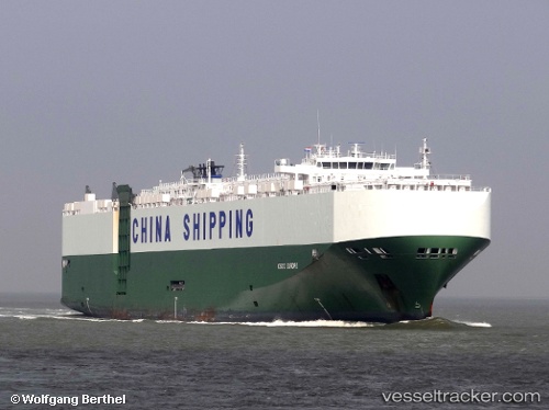
Rcc Europe
Current StatusWhere is the vessel?
Rcc Europe is currently in 43 nm W of Ocean Shores, based on AIS data received about 15h ago.
Latest AIS update:
Current position: 47.19667° N, 125.14833° W (43 nm W of Ocean Shores)
Average speed (last 7 days): Loading…
Average speed (last 30 days): Loading…
Vessel profile: Rcc Europe is a Vehicles Carrier with dimensions 32m x 200m.
This page combines live AIS, route history, probable destination signals, nearby traffic, and port activity for practical vessel monitoring.
The current position of vessel Rcc Europe is 47.19667 lat / -125.14833 lng. Updated: 2026-05-20 16:19:02 UTCNearest reference points:
- Near Grays Harbor City
- Near Clallam Bay
- 21 nm NW of Tatoosh Island
Details:
Live Vessel Rcc Europe Analytics (details, animations, etc.)
Recent AIS points (UTC):
2026-05-20 14:03:32 UTC · 46.77005, -124.93184 · SOG 12.4 kn · COG 321°2026-05-20 14:22:03 UTC · 46.81833, -124.98833 · SOG 12 kn · COG -1°
2026-05-20 15:41:02 UTC · 47.07357, -125.09787 · SOG 12.1 kn · COG 343°
2026-05-20 16:19:02 UTC · 47.19667, -125.14833 · SOG 12 kn · COG -1°