 TAN BINH 267
Current Status
Where is the vessel?
TAN BINH 267 is currently in 82 nm N of Rashid, based on AIS data received about 17h ago.
Latest AIS update:
Current position: 32.69695° N, 29.87693° E (82 nm N of Rashid)
Average speed (last 7 days): Loading…
Average speed (last 30 days): Loading…
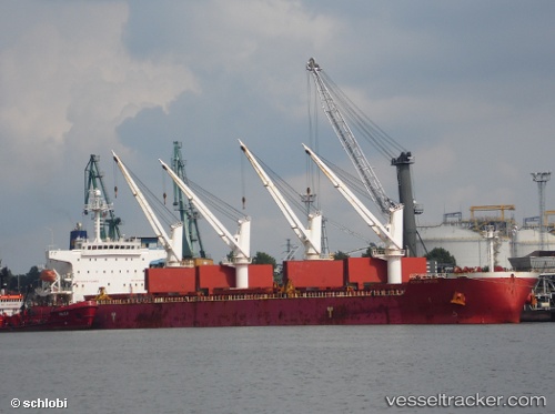
Vessel profile: TAN BINH 267 is a Bulk Carrier with dimensions m x m.
This page combines live AIS, route history, probable destination signals, nearby traffic, and port activity for practical vessel monitoring.
The current position of vessel TAN BINH 267 is 32.69695 lat / 29.87693 lng. Updated: 2026-05-20 14:41:49 UTCNearest reference points:
- 129 nm NW of ABU QIR
- Near EL DEKHEILA
- Near Alexandria
Currently sailing under the flag of Panama ![]()
Details:
Live Vessel TAN BINH 267 Analytics (details, animations, etc.)
Recent AIS points (UTC):
2026-05-20 14:41:49 UTC · 32.69695, 29.87693 · SOG 9.2 kn · COG 290°2026-05-20 14:41:49 UTC · 32.69695, 29.87693 · SOG 9.2 kn · COG 290°
2026-05-20 14:41:49 UTC · 32.69695, 29.87693 · SOG 9.2 kn · COG 290°
2026-05-20 14:41:49 UTC · 32.69695, 29.87693 · SOG 9.2 kn · COG 290°