 vesseltracker.com
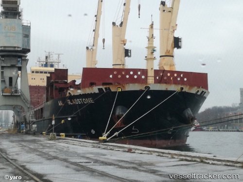
Aal Gladstone
Current StatusWhere is the vessel?
Aal Gladstone is currently in 201 nm SW of Greenville, based on AIS data received about 14h ago.
Latest AIS update:
Current position: 2.16333° N, 10.84666° W (201 nm SW of Greenville)
Average speed (last 7 days): Loading…
Average speed (last 30 days): Loading…
Vessel profile: Aal Gladstone is a Multi Purpose Carrier with dimensions 28m x 160m.
This page combines live AIS, route history, probable destination signals, nearby traffic, and port activity for practical vessel monitoring.
The current position of vessel Aal Gladstone is 2.16333 lat / -10.84666 lng. Updated: 2026-05-17 20:26:28 UTCNearest reference points:
- 110 nm SW of River Cess
- 98 nm SW of Harper
Details:
Live Vessel Aal Gladstone Analytics (details, animations, etc.)
Recent AIS points (UTC):
2026-05-17 19:32:27 UTC · 2.28667, -10.93500 · SOG 10 kn · COG -1°2026-05-17 19:32:27 UTC · 2.28667, -10.93500 · SOG 10 kn · COG -1°
2026-05-17 20:26:28 UTC · 2.16333, -10.84666 · SOG 10 kn · COG -1°
2026-05-17 20:26:28 UTC · 2.16333, -10.84666 · SOG 10 kn · COG -1°