 ELBRUNNER
Current Status
Where is the vessel?
ELBRUNNER is currently in Near Stará Voda, based on AIS data received about 14h ago.
Latest AIS update:
Current position: 54.91493° N, 12.59706° E (Near Stará Voda)
Average speed (last 7 days): Loading…
Average speed (last 30 days): Loading…
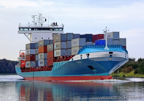
Vessel profile: ELBRUNNER is a Container Ship with dimensions m x m.
This page combines live AIS, route history, probable destination signals, nearby traffic, and port activity for practical vessel monitoring.
The current position of vessel ELBRUNNER is 54.91493 lat / 12.59706 lng. Updated: 2026-05-19 01:50:11 UTCNearest reference points:
- Near Rødvig Havn
- Near Pruchten
- Near Skanör
Details:
Live Vessel ELBRUNNER Analytics (details, animations, etc.)
Recent AIS points (UTC):
2026-05-18 23:00:46 UTC · 54.41372, 11.93384 · SOG 14.4 kn · COG 93°2026-05-19 00:06:22 UTC · 54.52405, 12.27356 · SOG 15 kn · COG 22°
2026-05-19 01:21:52 UTC · 54.80792, 12.50162 · SOG 15.5 kn · COG 31°
2026-05-19 01:50:11 UTC · 54.91493, 12.59706 · SOG 15.3 kn · COG 31°