 SRIYULIANI
Current Status
Where is the vessel?
SRIYULIANI is currently in 95 nm S of Kumai, based on AIS data received about 15h ago.
Latest AIS update:
Current position: 4.21333° S, 111.14167° E (95 nm S of Kumai)
Average speed (last 7 days): Loading…
Average speed (last 30 days): Loading…
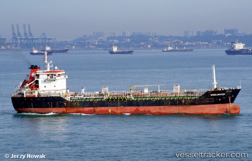
Vessel profile: SRIYULIANI is a Oil Products Tanker with dimensions m x m.
This page combines live AIS, route history, probable destination signals, nearby traffic, and port activity for practical vessel monitoring.
The current position of vessel SRIYULIANI is -4.21333 lat / 111.14167 lng. Updated: 2026-05-19 04:03:24 UTCNearest reference points:
- 68 nm NW of Gagak Rimang Fso
- 49 nm NE of TANJUNG JATI
- 60 nm NW of Camar Marine Terminal
Currently sailing under the flag of Marshall Islands ![]()
Details:
Live Vessel SRIYULIANI Analytics (details, animations, etc.)
Recent AIS points (UTC):
2026-05-19 02:00:23 UTC · -4.23500, 111.49833 · SOG 10 kn · COG -1°2026-05-19 02:09:23 UTC · -4.23333, 111.47167 · SOG 10 kn · COG -1°
2026-05-19 03:39:30 UTC · -4.21833, 111.21167 · SOG 10 kn · COG -1°
2026-05-19 04:03:24 UTC · -4.21333, 111.14167 · SOG 10 kn · COG -1°