 Kamilla G
Current Status
Where is the vessel?
Kamilla G is currently in Near Larsnes, based on AIS data received about 14h ago.
Latest AIS update:
Current position: 62.20386° N, 5.57186° E (Near Larsnes)
Average speed (last 7 days): Loading…
Average speed (last 30 days): Loading…
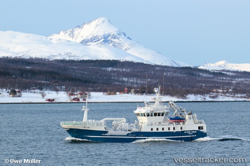
Vessel profile: Kamilla G is a Fishing Vessel with dimensions 37m x 8m.
This page combines live AIS, route history, probable destination signals, nearby traffic, and port activity for practical vessel monitoring.
The current position of vessel Kamilla G is 62.20386 lat / 5.57186 lng. Updated: 2026-05-19 01:49:12 UTCNearest reference points:
- Near Larsnes
- Near Gursken
- Near RAUDEBERG
Currently sailing under the flag of Norway ![]()
Kamilla G built in 2006 year
Details:
Live Vessel Kamilla G Analytics (details, animations, etc.)
Recent AIS points (UTC):
2026-05-18 22:57:52 UTC · 62.20360, 5.57169 · SOG 0 kn · COG 120°2026-05-19 00:02:32 UTC · 62.20390, 5.57171 · SOG 0 kn · COG 120°
2026-05-19 01:22:12 UTC · 62.20391, 5.57183 · SOG 0 kn · COG 121°
2026-05-19 01:49:12 UTC · 62.20386, 5.57186 · SOG 0 kn · COG 122°