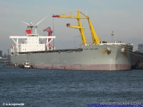
.
Vessel photo of WEN HUA STAR (IMO 9397846) vesseltracker.com

LB flag WEN HUA STAR

Vessel type: Bulk Carrier | IMO: 9397846 | MMSI: MMSI: 636021300
Call sign: 5LDG8 | Dimensions: 44 m x 292 m
Current Status

Where is the vessel?

WEN HUA STAR is currently in 18 nm W of Skardon River, based on AIS data received about 14h ago.

Latest AIS update:

Current position: 11.73600° S, 141.71835° E (18 nm W of Skardon River)

Average speed (last 7 days): Loading…

Average speed (last 30 days): Loading…

Vessel profile: WEN HUA STAR is a Bulk Carrier with dimensions 44m x 292m.

This page combines live AIS, route history, probable destination signals, nearby traffic, and port activity for practical vessel monitoring.

The current position of vessel WEN HUA STAR is -11.73600 lat / 141.71835 lng. Updated: 2026-05-17 23:57:44 UTC
More recent position available: 1 h 6 min ago

Shipinfo shows free vessel positions with a delay. After payment, you will be able to view the current position of this vessel for 24 hours.

We recommend registering. If you register, paid vessel access will be saved in your profile. Guest access works only through a personal link.

Nearest reference points:
  • Near Torres Strait
  • Near Thursday Island

Currently sailing under the flag of Liberia LB flag

WEN HUA STAR built in 2009 year

Deadweight:
178394 t

Details:

Live Vessel WEN HUA STAR Analytics (details, animations, etc.)


Recent AIS points (UTC):
2026-05-17 20:18:40 UTC · -11.73673, 141.71808 · SOG 0 kn · COG 104°
2026-05-17 21:45:42 UTC · -11.73691, 141.71802 · SOG 0 kn · COG 103°
2026-05-17 22:06:41 UTC · -11.73663, 141.71805 · SOG 0 kn · COG 107°
2026-05-17 23:57:44 UTC · -11.73600, 141.71835 · SOG 0 kn · COG 123°

UTC: --
Start: -- Track timeline (UTC) End: --
Encountered: --


Link to the map:


Find another ship

WEN_HUA_STAR (636021300) last ports (portcalls and passsages)

BUKOM ISLAND | 2025-07-09 22:43:20
PULAU SAMBU | 2025-07-09 21:42:43
BATU AMPAR | 2025-07-09 21:01:53
TANAH MERAH | 2025-07-08 13:41:38
PENGERANG | 2025-07-08 12:25:11
DONGJIAKOU | 2025-06-25 09:14:18
Fangcheng | 2025-05-08 17:35:51
SURALAYA | 2025-04-30 05:26:15
JURONG ISLAND | 2024-12-16 13:01:34
BUKOM ISLAND | 2024-12-16 12:04:49
TANAH MERAH | 2024-12-15 17:48:47
PENGERANG | 2024-12-15 16:26:32
HUANGHUA | 2024-12-01 07:25:13
Singapore | 2024-07-30 04:13:08
Dagu Bar | 2024-07-19 00:11:28
Ta-Ku | 2024-07-18 00:53:02
Ta-Ku | 2024-07-14 00:27:58
Taku Bar | 2024-07-13 21:13:06
Selat Lombok | 2024-05-22 21:04:02
Dampier | 2024-05-18 02:45:47
Sambu | 2024-02-01 17:53:20
Selat Lombok | 2024-01-12 06:01:42
Nassau | 2024-01-08 15:11:59
Nassau | 2024-01-03 14:25:53
Nassau | 2023-12-29 14:20:31
Nassau | 2023-12-23 18:19:45
Nassau | 2023-12-19 17:24:50
Singapore | 2023-07-28 19:35:22
Qingdao | 2023-05-29 21:33:53
Basuo Gang | 2023-04-21 19:25:45
Nassau | 2023-01-01 20:57:18
Nassau | 2022-12-28 05:39:58
Nassau | 2022-12-22 14:28:16
Nassau | 2022-11-30 05:45:20
Freeport | 2022-10-17 16:32:40
Freeport | 2022-10-12 14:04:12
Freeport | 2022-10-08 13:46:45
Freeport | 2022-10-04 11:06:44
Freeport | 2022-09-30 10:17:06
Freeport | 2022-09-26 10:10:14
Freeport | 2022-09-22 08:03:04
Freeport | 2022-09-18 07:57:21
Freeport | 2022-09-14 04:14:42
Freeport | 2022-09-10 02:02:37
Freeport | 2022-09-06 01:28:58
Freeport | 2022-08-30 16:16:37
Nassau | 2022-08-12 19:51:58
Nassau | 2022-07-17 10:05:00
Nassau | 2022-06-30 22:32:37
Nassau | 2022-06-26 19:53:52
Nassau | 2022-06-22 16:50:38
Nassau | 2022-06-18 14:00:02
Nassau | 2022-06-14 11:02:06
Nassau | 2022-06-08 01:31:20
Nassau | 2022-06-03 22:41:00
Nassau | 2022-05-12 04:10:46
Yokkaichi | 2021-12-21 01:35:07
Yokosuka | 2021-12-20 08:45:16
Yokosuka | 2021-12-20 08:10:56
Yokohama | 2021-12-20 08:05:55
Yokohama | 2021-12-20 07:55:55
Yokohama | 2021-12-20 07:45:45
Kawasaki | 2021-12-20 07:35:15
Kashima Ko | 2021-12-02 11:39:51