 SHIRAYUKI
Current Status
Where is the vessel?
SHIRAYUKI is currently in 95 nm S of Nagercoil, based on AIS data received about 14h ago.
Latest AIS update:
Current position: 6.60550° N, 77.21539° E (95 nm S of Nagercoil)
Average speed (last 7 days): Loading…
Average speed (last 30 days): Loading…
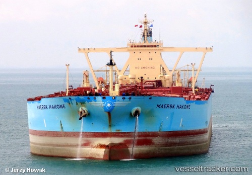
Vessel profile: SHIRAYUKI is a Crude Oil Tanker with dimensions m x m.
This page combines live AIS, route history, probable destination signals, nearby traffic, and port activity for practical vessel monitoring.
The current position of vessel SHIRAYUKI is 6.60550 lat / 77.21539 lng. Updated: 2026-05-19 05:59:42 UTCNearest reference points:
- 91 nm S of Nagercoil
- 98 nm S of Nagercoil
- 41 nm S of Nagercoil
Currently sailing under the flag of Liberia ![]()
Details:
Live Vessel SHIRAYUKI Analytics (details, animations, etc.)
Recent AIS points (UTC):
2026-05-19 01:46:21 UTC · 6.17248, 77.98299 · SOG 13.1 kn · COG 298°2026-05-19 02:38:31 UTC · 6.26879, 77.82054 · SOG 12.5 kn · COG 296°
2026-05-19 04:52:01 UTC · 6.48612, 77.41866 · SOG 12.5 kn · COG 295°
2026-05-19 05:59:42 UTC · 6.60550, 77.21539 · SOG 12.6 kn · COG 297°