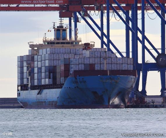
 Maersk Batur
Current Status
Where is the vessel?
Maersk Batur is currently in 28 nm N of Ile D’Ouessant, based on AIS data received about 14h ago.
Latest AIS update:
Current position: 49.11096° N, 5.27212° W (28 nm N of Ile D’Ouessant)
Average speed (last 7 days): Loading…
Average speed (last 30 days): Loading…
Vessel profile: Maersk Batur is a Container Ship with dimensions 223m x 32m.
This page combines live AIS, route history, probable destination signals, nearby traffic, and port activity for practical vessel monitoring.
The current position of vessel Maersk Batur is 49.11096 lat / -5.27212 lng. Updated: 2026-05-19 03:45:01 UTCNearest reference points:
- 18 nm NE of Ile D’Ouessant
- 34 nm W of Verzy
- 28 nm N of Landunvez
Currently sailing under the flag of Singapore ![]()
Maersk Batur built in 2009 year
Deadweight:
43273 tDetails:
Live Vessel Maersk Batur Analytics (details, animations, etc.)
Recent AIS points (UTC):
2026-05-18 23:57:30 UTC · 49.48495, -4.36851 · SOG 12 kn · COG 231°2026-05-19 01:29:41 UTC · 49.32776, -4.76769 · SOG 11.6 kn · COG 245°
2026-05-19 01:33:31 UTC · 49.32391, -4.78545 · SOG 11.3 kn · COG 244°
2026-05-19 03:45:01 UTC · 49.11096, -5.27212 · SOG 10 kn · COG 232°