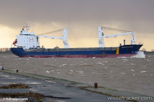
 ZELADA DESGAGNES
Current Status
Where is the vessel?
ZELADA DESGAGNES is currently in Near TANANGER, based on AIS data received about 15h ago.
Latest AIS update:
Current position: 58.91948° N, 5.58445° E (Near TANANGER)
Average speed (last 7 days): Loading…
Average speed (last 30 days): Loading…
Vessel profile: ZELADA DESGAGNES is a General Cargo with dimensions m x m.
This page combines live AIS, route history, probable destination signals, nearby traffic, and port activity for practical vessel monitoring.
The current position of vessel ZELADA DESGAGNES is 58.91948 lat / 5.58445 lng. Updated: 2026-05-19 19:30:55 UTCNearest reference points:
- Near Lura
- Near HUSOYA
- Near Storøya
Currently sailing under the flag of Barbados ![]()
Details:
Live Vessel ZELADA DESGAGNES Analytics (details, animations, etc.)
Recent AIS points (UTC):
2026-05-19 16:18:57 UTC · 58.91946, 5.58450 · SOG 0 kn · COG 167°2026-05-19 17:21:55 UTC · 58.91943, 5.58443 · SOG 0 kn · COG 167°
2026-05-19 19:27:56 UTC · 58.91948, 5.58443 · SOG 0 kn · COG 167°
2026-05-19 19:30:55 UTC · 58.91948, 5.58445 · SOG 0 kn · COG 167°