 vesseltracker.com
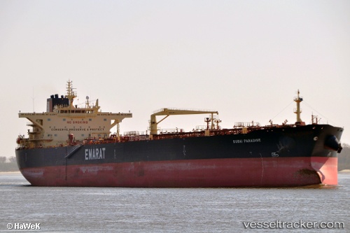
 QASR
QASR
Current Status
Where is the vessel?
QASR is currently in 28 nm NE of Huévar, based on AIS data received about 15h ago.
Latest AIS update:
Current position: 37.75405° N, 6.55160° E (28 nm NE of Huévar)
Average speed (last 7 days): Loading…
Average speed (last 30 days): Loading…
Vessel profile: QASR is a Crude Oil Tanker with dimensions m x m.
This page combines live AIS, route history, probable destination signals, nearby traffic, and port activity for practical vessel monitoring.
The current position of vessel QASR is 37.75405 lat / 6.55160 lng. Updated: 2026-05-18 00:05:49 UTCNearest reference points:
- Near Skikid
- Near Carmona
- Near Annaba
Currently sailing under the flag of Equatorial Guinea ![]()
Details:
Live Vessel QASR Analytics (details, animations, etc.)
Recent AIS points (UTC):
2026-05-17 21:37:16 UTC · 37.82003, 7.25737 · SOG 13.3 kn · COG 262°2026-05-17 21:45:57 UTC · 37.81622, 7.21688 · SOG 13.4 kn · COG 263°
2026-05-17 21:45:57 UTC · 37.81622, 7.21688 · SOG 13.4 kn · COG 263°
2026-05-18 00:05:49 UTC · 37.75405, 6.55160 · SOG 13.3 kn · COG 262°