 vesseltracker.com
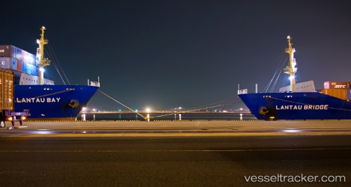
 ERASMUS OASIS
Current Status
Where is the vessel?
ERASMUS OASIS is currently in 142 nm E of Lü-hua Shan, based on AIS data received about 14h ago.
Latest AIS update:
Current position: 30.97485° N, 125.36077° E (142 nm E of Lü-hua Shan)
Average speed (last 7 days): Loading…
Average speed (last 30 days): Loading…
Vessel profile: ERASMUS OASIS is a Container Ship with dimensions m x m.
This page combines live AIS, route history, probable destination signals, nearby traffic, and port activity for practical vessel monitoring.
The current position of vessel ERASMUS OASIS is 30.97485 lat / 125.36077 lng. Updated: 2026-05-18 11:46:55 UTCNearest reference points:
- 151 nm E of Lü-hua Shan
- 140 nm S of Hwasun
- 160 nm E of Lü-hua Shan
Currently sailing under the flag of Marshall Islands ![]()
Details:
Live Vessel ERASMUS OASIS Analytics (details, animations, etc.)
Recent AIS points (UTC):
2026-05-18 07:40:37 UTC · 30.96167, 126.54333 · SOG 14 kn · COG -1°2026-05-18 09:52:43 UTC · 30.96382, 125.92918 · SOG 15 kn · COG 272°
2026-05-18 10:53:36 UTC · 30.96973, 125.63062 · SOG 15.6 kn · COG 273°
2026-05-18 11:46:55 UTC · 30.97485, 125.36077 · SOG 15.8 kn · COG 272°