 Chem Mia
Current Status
Where is the vessel?
Chem Mia is currently in 30 nm E of Surfside, based on AIS data received about 14h ago.
Latest AIS update:
Current position: 25.78057° N, 79.56303° W (30 nm E of Surfside)
Average speed (last 7 days): Loading…
Average speed (last 30 days): Loading…
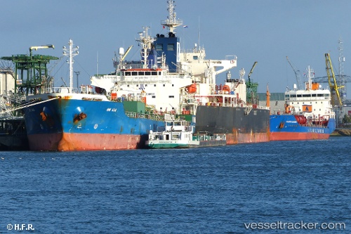
Vessel profile: Chem Mia is a Chemical Oil Products Tanker with dimensions 144m x 24m.
This page combines live AIS, route history, probable destination signals, nearby traffic, and port activity for practical vessel monitoring.
The current position of vessel Chem Mia is 25.78057 lat / -79.56303 lng. Updated: 2026-05-19 11:22:04 UTCNearest reference points:
- 44 nm E of Surfside
- Near Fort Lauderdale
- Near Fisher Island, Miami
Currently sailing under the flag of Liberia ![]()
Chem Mia built in 2008 year
Deadweight:
19702 tDetails:
Live Vessel Chem Mia Analytics (details, animations, etc.)
Recent AIS points (UTC):
2026-05-19 08:00:44 UTC · 26.33212, -79.42718 · SOG 10.4 kn · COG 196°2026-05-19 10:02:24 UTC · 25.99552, -79.53660 · SOG 10.1 kn · COG 194°
2026-05-19 10:40:45 UTC · 25.89207, -79.56083 · SOG 9.7 kn · COG 180°
2026-05-19 11:22:04 UTC · 25.78057, -79.56303 · SOG 9.7 kn · COG 183°