 vesseltracker.com
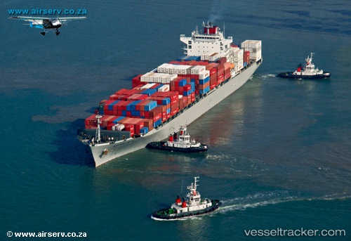
 Alexandria Bridge
Current Status
Where is the vessel?
Alexandria Bridge is currently in 56 nm NW of Baía dos Tigres, based on AIS data received about 15h ago.
Latest AIS update:
Current position: 16.23230° S, 10.83668° E (56 nm NW of Baía dos Tigres)
Average speed (last 7 days): Loading…
Average speed (last 30 days): Loading…
Vessel profile: Alexandria Bridge is a Container Ship with dimensions 262m x 32m.
This page combines live AIS, route history, probable destination signals, nearby traffic, and port activity for practical vessel monitoring.
The current position of vessel Alexandria Bridge is -16.23230 lat / 10.83668 lng. Updated: 2026-05-18 11:52:14 UTCCurrently sailing under the flag of Panama ![]()
Details:
Live Vessel Alexandria Bridge Analytics (details, animations, etc.)
Recent AIS points (UTC):
2026-05-18 07:46:33 UTC · -15.27602, 10.52423 · SOG 14.4 kn · COG 164°2026-05-18 09:45:17 UTC · -15.74059, 10.67027 · SOG 14.7 kn · COG 162°
2026-05-18 10:43:33 UTC · -15.96568, 10.74885 · SOG 14.4 kn · COG 162°
2026-05-18 11:52:14 UTC · -16.23230, 10.83668 · SOG 14.5 kn · COG 163°