 vesseltracker.com
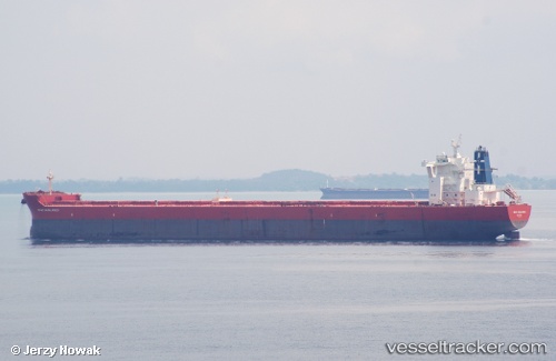
Haralambos
Current StatusWhere is the vessel?
Haralambos is currently in 12 nm S of ILHA GUAIBA, based on AIS data received about 14h ago.
Latest AIS update:
Current position: 23.20752° S, 44.05223° W (12 nm S of ILHA GUAIBA)
Average speed (last 7 days): Loading…
Average speed (last 30 days): Loading…
Vessel profile: Haralambos is a Bulk Carrier with dimensions 45m x 292m.
This page combines live AIS, route history, probable destination signals, nearby traffic, and port activity for practical vessel monitoring.
The current position of vessel Haralambos is -23.20752 lat / -44.05223 lng. Updated: 2026-05-18 08:02:38 UTCNearest reference points:
- Near ILHA GUAIBA
- Near SANTA RITA
- Near CUNHAMBEBE
Details:
Live Vessel Haralambos Analytics (details, animations, etc.)
Recent AIS points (UTC):
2026-05-18 04:56:43 UTC · -23.20733, -44.05192 · SOG 0.1 kn · COG 164°2026-05-18 06:14:36 UTC · -23.20754, -44.05214 · SOG 0.1 kn · COG 149°
2026-05-18 07:56:38 UTC · -23.20758, -44.05239 · SOG 0 kn · COG 146°
2026-05-18 08:02:38 UTC · -23.20752, -44.05223 · SOG 0 kn · COG 150°