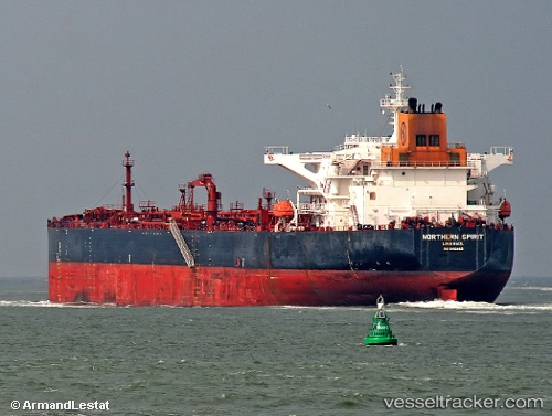
Kalahari
Current StatusWhere is the vessel?
Kalahari is currently in Near Burnaby, based on AIS data received about 14h ago.
Latest AIS update:
Current position: 49.29150° N, 122.95645° W (Near Burnaby)
Average speed (last 7 days): Loading…
Average speed (last 30 days): Loading…
Vessel profile: Kalahari is a Crude Oil Tanker with dimensions 44m x 250m.
This page combines live AIS, route history, probable destination signals, nearby traffic, and port activity for practical vessel monitoring.
The current position of vessel Kalahari is 49.29150 lat / -122.95645 lng. Updated: 2026-05-18 22:00:11 UTCNearest reference points:
- Near Fraser Mills
- Near North Vancouver
- Near FRASER SURREY
Details:
Live Vessel Kalahari Analytics (details, animations, etc.)
Recent AIS points (UTC):
2026-05-18 19:06:07 UTC · 49.29148, -122.95647 · SOG 0 kn · COG 107°2026-05-18 19:45:07 UTC · 49.29149, -122.95643 · SOG 0 kn · COG 108°
2026-05-18 21:45:12 UTC · 49.29151, -122.95646 · SOG 0 kn · COG 107°
2026-05-18 22:00:11 UTC · 49.29150, -122.95645 · SOG 0 kn · COG 107°