 GOTLAND
Current Status
Where is the vessel?
GOTLAND is currently in 38 nm NW of Pavilosta, based on AIS data received about 14h ago.
Latest AIS update:
Current position: 57.32390° N, 20.34559° E (38 nm NW of Pavilosta)
Average speed (last 7 days): Loading…
Average speed (last 30 days): Loading…
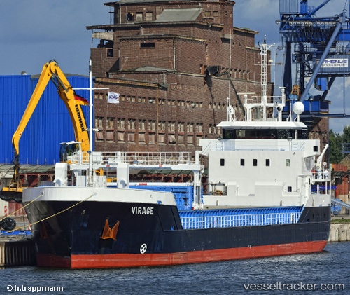
Vessel profile: GOTLAND is a General Cargo with dimensions m x m.
This page combines live AIS, route history, probable destination signals, nearby traffic, and port activity for practical vessel monitoring.
The current position of vessel GOTLAND is 57.32390 lat / 20.34559 lng. Updated: 2026-05-20 08:13:27 UTCNearest reference points:
- Near Ventspils
- Near Cimdenieki
- 11 nm N of Ventspils
Currently sailing under the flag of Germany ![]()
Details:
Live Vessel GOTLAND Analytics (details, animations, etc.)
Recent AIS points (UTC):
2026-05-20 04:43:08 UTC · 57.06037, 19.42643 · SOG 10 kn · COG 64°2026-05-20 06:06:07 UTC · 57.15956, 19.80276 · SOG 9.7 kn · COG 61°
2026-05-20 07:37:37 UTC · 57.27698, 20.19158 · SOG 9.6 kn · COG 61°
2026-05-20 08:13:27 UTC · 57.32390, 20.34559 · SOG 9.6 kn · COG 61°